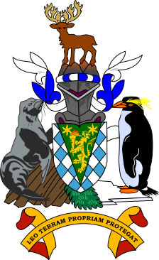
Maiviken
(Thatcher Peninsula)
South Georgia and the South Sandwich Islands
Location: 54° 14' 46" S 36° 30' 21" W[= May cove], cove at N end of Thatcher Peninsula, between Cumberland West Bay and Cumberland East Bay, was charted by the SwAB and named Maiviken after May Day 1902, the day on which the expedition entered the cove.